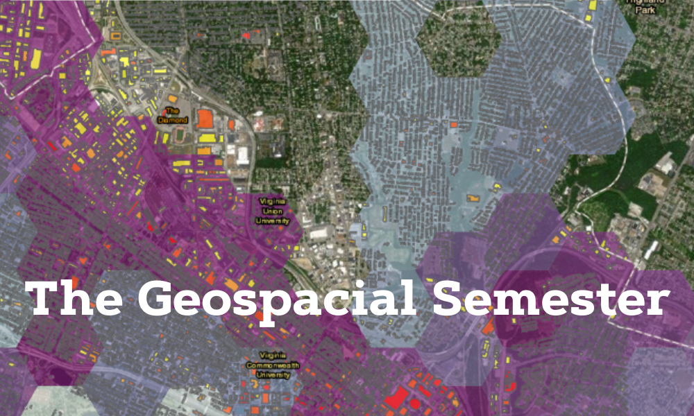
The Geospatial Semester
School of Professional & Continuing Education (SPCE)
What brings JMU faculty together with high school students interested in studying renewable energy, changing land use patterns, urban heat islands, food justice and more? The source of these connections is the Geospatial Semester (GSS), and for the last 17 years, high school students across Virginia have been learning about cutting-edge technology, studying local problems, and earning JMU credit through this award-winning program.
The GSS is an innovative partnership between the Geographic Science program, the School of Professional and Continuing Education (SPCE) and school districts across Virginia. This dual-enrollment effort, based in participating high schools, partners JMU faculty and local teachers to take students on a voyage of discovery. Unlike many of their classes, the GSS offers students the chance to learn about geospatial technologies like geographic information systems (GIS) and GPS, and apply them to problems the students care about. This changes the dynamic in the classroom and motivates students deep into their senior year.
Initiated by College of Integrated Science and Engineering Dean Bob Kolvoord and Kathryn Keranen, and supported by SPCE, the GSS has opened new horizons and career possibilities to a generation of high school students. To date, more than 5,000 students have earned credit through the GSS and many have come to JMU, helping to grow our Geographic Science program to be one of the largest on the East Coast. In addition, research conducted by Kolvoord and colleagues at other universities has shown that GSS students develop stronger spatial thinking and problem-solving skills than their peers. There’s even evidence through fMRI scans that students are developing new connection patterns in their brains!

If you’d like to learn more about this ground-breaking effort, please go to https://www.isat.jmu.edu/geospatialsemester or contact Mr. Paul Rittenhouse (rittensp@jmu.edu).
