
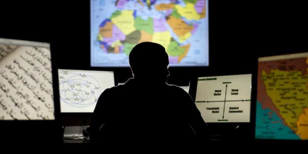
Geospatial intelligence is a career that allows you to make a direct difference in people’s lives and make the world a better and safer place. Some of the activities being undertaken by our recent graduates include using geospatial technologies such as GIS and satellite/aerial imagery to:
- Help communities predict and respond to natural disasters.
- Predict where violence may break out.
- Help respond to the migration crises.
- Protect US infrastructure from terrorist attacks.
- Create maps and other data used by soldiers and other people on the ground in conflict areas.
It is also a career that has a bright future and solid compensation. The US Department of Labor lists it as a career with a ‘bright outlook’ and as a ‘green career’, and a major study shows that the industry is growing at approximately 10% per year with growth expected to continue into the future.
According to a study conducted by the American Society for Photogrammetry and Remote Sensing, 68% of geospatial technology employees earn over $50,000 / year, and 41% earn over $75,000. The ASPRS also reports that people in the industry report difficulty hiring qualified people who can obtain security clearances.